There is a pale white line etched into the cliffs of Lake Meade.
It marks where the water once stood.
Today, the lake sits roughly 175 ft below that line, a drop equal to the height of a 17story building.
And as the water fell, the lake started giving things back.
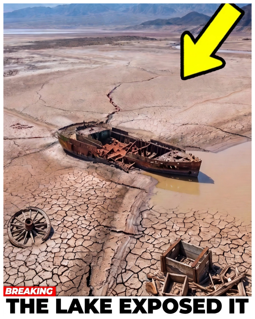
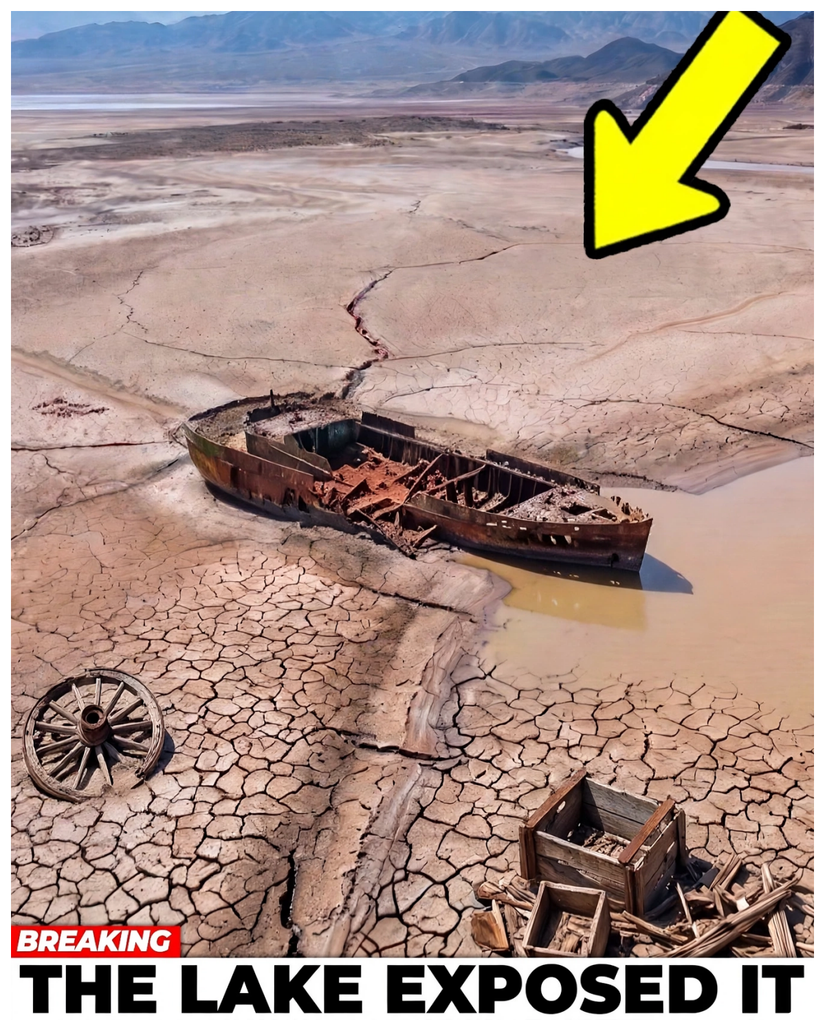
Boats that sank decades ago now sit exposed in the open desert air.
Concrete structures built to stay buried deep underwater stand fully exposed.
Rusted barrels have surfaced through the cracked lake bed.
An entire drowned town has resurfaced from the earth that swallowed it.
But not everything the water gave back is easy to look at.
Along that same shrinking shoreline, human remains have surfaced more than once.
Some of those cases are still open.
Some of the people found were never identified at all, which means somewhere out there, a family is still waiting on a phone call that may never come.
Lake me is now sitting at its lowest level since it was first filled back in the 1930s.
But you can’t explain that with one hot summer.
You can’t explain it with the sprinklers running on the lawns of Las Vegas or even with climate change alone.
The real problem began nearly a century ago when officials carved up the Colorado River using a single number meant to represent how much water it could provide.
That number was wrong.
Not a little off, not a rounding error.
Catastrophically wrong.
And the whole modern Southwest was built on top of it.
This was never a story about spectacle.
It’s the story of a lake that shrank until it became a kind of accidental time capsule.
And what a drying land tells us when it finally speaks.
But at the core of it, what ties the wartime wreckage, the drowned town, the barrels, and the bathtub ring all together is water.
So, let’s start with the lake itself and the astonishing scale of what it once used to be.
The rise and fall of Lake Meade.
Lake me isn’t a natural lake.
There was no Lake Me until human beings decided one should exist.
It’s there because of Hoover Dam.
That massive wedge of concrete jammed into a narrow gorge of the Colorado River, straddling the border between Nevada and Arizona.
A structure so enormous that when it was completed, it ranked among the largest man-made objects on Earth.
Behind that dam, the river backed up, spread out, and swallowed canyons, washes, and river valleys whole until it formed the largest reservoir anywhere in the United States.
When it hit full capacity in 1983, Lake me held somewhere around 28.9 million acre feet of water.
An acre foot is simply the amount of water needed to cover 1 acre of land a foot deep, roughly enough to supply a couple of households for a year.
Multiply that by nearly 29 million and you start to understand the sheer scale of what was stored there.
It stands as one of the greatest engineered water banks in human history.
And it wasn’t built to be admired.
It [music] was built to be used.
That water is the entire reason the modern desert southwest exists the way it does.
Think about the lights of the Las Vegas strip.
The swimming pools, golf courses, and endless suburbs of Phoenix.
Even California’s Imperial Valley, where lettuce and alalfa somehow grow in the middle of pure desert.
None of that should exist out here naturally.
All of it draws directly or indirectly from the Colorado River and the reservoirs built to hold its water.
Tens of millions of people across seven states and into Mexico depend on that system to survive.
Lake me is the beating heart of it all.
And for the past two decades, that heart has been running dry.
Today, the lake sits at roughly 1/3 of its full capacity.
Let that sink in for a second.
1/3 full.
Twothirds of the water this reservoir was built to hold has simply vanished.
The bathtub ring, that pale scar snaking up the canyon walls, marks the gap between what used to be there and what’s left now.
Pilots who fly over the basin call it the most visible wound on the entire landscape of the American West.
A bright, unnatural line [music] visible from thousands of feet up, tracing the old high water mark far above the shrunken dark pool sitting below it.
From the air, the lake doesn’t even look like a lake anymore.
It looks like a puddle sitting at the bottom of a canyon that used to hold something far bigger.
Now, the easy explanation, the one that gets distributed out on the news whenever the reservoir makes headlines, is that this is just what a hot, dry decade looks like.
Climate change, we’re told.
Too many people, too many lawns, too many fountains, too much thirsty growth in a place that was never [music] meant to support this many people.
And all of that holds up.
The Southwest has been locked in a drought so long and so brutal that scientists studying it call it the driest stretch the region has seen in over a thousand years.
The population has exploded.
Demand is off the charts.
None of that is up for debate.
But it’s not the whole story.
And it might not even be the most important part of it.
Because the real reason Lake meat is emptying isn’t written in the weather patterns of the last 20 years.
It’s written in a promise made back in 1922.
A promise about exactly how much water the Colorado River could provide.
A promise made in good faith by men based on the best measurements available to them at the time.
The problem is those measurements were taken during exactly the wrong years to understand how a single document could drain the largest reservoir in the country 100 years later.
You have to go back to a quiet lodge in the hills outside Santa Fe, New Mexico in 1922.
That’s where seven states [music] hammered out a deal that would define the river’s fate for the next century.
The deal that divided the Colorado River.
That deal was the Colorado River Compact.
To understand why it happened, you have to understand what the Southwest looked like at the time.
In the early 1900s, California was growing fast.
Farms were spreading across the Imperial Valley, and huge amounts of Colorado River water were being used to turn dry land into productive farmland.
Other states watched this and became worried.
Under the water laws used across much of the West, the people who used water first often had the strongest claim to keep using it later.
That created a serious problem.
The Colorado River begins far upstream.
But California was developing faster than many of the states where much of that water came from.
Colorado, Utah, Wyoming, New Mexico, Arizona, and Nevada did not want to wake up years later and find that most of the river had already been claimed.
So, the seven states agreed to sit down and work out a deal.
The man chosen to lead the talks was Herbert Hoover, who was Secretary of Commerce at the time.
He would later become president, but in 1922, his job was to help seven states agree on how to share one river.
That was not easy.
At first, the states tried to decide exactly how much water each one should receive.
They could not agree.
Every state wanted enough water for the farms, towns, and projects it expected to build in the future.
Nobody wanted to sign away water that might become valuable later.
Hoover then suggested a simpler plan.
Instead of dividing the river among all seven states immediately, they would divide the river into two large groups, the upper basin and the lower basin.
The states inside each group could work out their own shares later.
That compromise finally broke the deadlock.
On November 24th, 1922, representatives of all seven states signed the Colorado River Compact near Santa Fe, New Mexico.
The deal gave the upper basin the right to use 7 1/2 million acre feet of water each year.
The lower basin received the same amount.
The lower basin was also allowed to increase its use by another 1 million acre feet a year.
There was another important rule.
The states in the upper basin could not cause the flow at Leaf Ferry to fall below 75 million acre feet over any 10-year period.
Leaf Ferry sits in northern Arizona and became the main dividing point between the two halves of the river system.
The agreement was built [music] around one big belief.
The Colorado River had enough water to support these promises.
But the compact did not settle everything.
It did not give California, Arizona, and Nevada their exact shares of the lower basin water.
That came later.
In 1928, Congress passed the Boulder Canyon Project Act.
Under the system that followed, California received 4.4 million acre feet a year.
Arizona received 2.8 million and Nevada received 300,000.
Arizona was still unhappy with the wider agreement and did not approve the compact until 1944.
That same year, the United States also signed a treaty promising Mexico 1 and a half million acre feet of Colorado River water each year.
By then, the river was tied to a growing chain of promises.
States had claims, cities had plans, farms were expanding, Mexico had a guaranteed share, and huge dams were being built to store and control the water.
All of these rules, court decisions, laws, treaties, and later agreements eventually became known together as the law of the river.
But there was a problem hidden underneath all of it.
When the compact was created, the river was believed to carry an average of about 16.4 4 million acre feet of natural flow each year.
At the time, that looked like enough water to support the system being built around it.
The longer record tells a different story.
From 1906 through 2024, the river’s natural flow averaged about 14.6 million acre feet a year.
And from 2000 through 2024, the average fell even lower to about 12.4 million acre feet.
That difference is enormous.
The river was not delivering the amount of water that the early system had been built around.
And the problem became even worse after the year 2000 when the Colorado entered a long stretch of unusually low flow.
The period from 2000 through 2022 was the driest 23-year stretch in more than a century of modern records.
When scientists compared it with much older evidence from tree rings, it also ranked among the driest periods the region had seen in roughly 12,200 years.
The men who signed the compact in 1922 did not have anything close to the information available today.
Their direct measurements covered a much shorter period.
They were trying to divide a river that can change wildly from one year to the next.
Some years bring huge amounts of snow and runoff.
Other years bring far less.
If you judge a river like that using only a short stretch of time, you can easily get the wrong idea about what it normally provides.
And once there was not enough water to meet every promise, the next question became unavoidable.
Who gets cut first?
Who gets water and who gets cut?
When there is not enough Colorado River water to go around, everyone does not simply lose the same amount.
Some users have stronger rights than others.
Across much of the West, older water rights usually come before newer ones.
So when shortages arrive, the order in which those rights were created can decide who gets cut first.
Arizona is a clear example.
For decades, Arizona wanted a canal carrying Colorado River water across the desert to Phoenix, Tucson, farms, and other communities.
That project became the Central Arizona Project.
Congress approved it in 1968, but Arizona had to accept a condition to get it built.
Water delivered through the project would have a lower priority than California’s basic share of the Colorado River.
That decision still matters today.
If there is not enough water in the lower basin, central Arizona project deliveries can be reduced before California’s basic allocation of 4.4 million acre feet is touched.
And those cuts are no longer just something written into old agreements.
Lake me is under a level one shortage condition in 2026.
Under the current rules, Arizona has to take 512,000 acre feet less than its full share.
That is about 18% of its normal allocation.
Nevada gives up 21,000 acre feet, about 7% of its share.
Mexico gives up 80,000 acre feet, about 5% of its yearly aotment.
California does not receive the same mandatory level one shortage cut.
Then there is another question.
Who is actually using most of the water?
When people think about water use in the southwest, Las Vegas is usually one of the first places that comes to mind.
The fountains, swimming pools, golf courses, and green lawns look almost impossible in the middle of the desert.
But cities are not the biggest users of Colorado River water.
A detailed study of water use from 2000 through 2019 found that farming made up about 74% of the water directly consumed by people from the Colorado River Basin.
In simple terms, nearly three out of every four gallons of water used and not returned to the river went to irrigated agriculture.
And within [music] farming, one group of crops stands out.
Alfalfa and other types of hay grown mainly to feed cattle used about 62% of all agricultural water in the basin.
Those feed crops alone made up about 46% of all direct human water consumption from the river.
That is a huge share for crops most people never think about when they picture the Colorado River crisis.
But this does not mean the answer is as simple as shutting down farms.
Farms across the basin produce food, support rural towns, and provide jobs.
In places such as the Imperial Valley and Yuma, Colorado River water supports some of the country’s most productive farmland.
Large amounts of lettuce and other vegetables eaten across North America during winter are grown there.
So, cutting farm water can save enormous amounts of water, but it can also hit entire communities and food production.
That is one reason the argument over who should use less has become so difficult.
Las Vegas also shows that what looks like heavy water use is not always where the biggest losses happen.
Southern Nevada gets most of its water from the Colorado River, but nearly all water used indoors is treated after it goes down drains and returned to Lake Meade through the Las Vegas wash.
About 99% of indoor water is recycled.
When that treated water goes back to the lake, southern Nevada receives credit for returning it.
That allows the region to take the same amount back out later.
Outdoor water is different.
Water sprayed on grass [music] used for landscaping or lost to evaporation usually does not return to Lake Meade.
That is why southern Nevada focuses so heavily on cutting outdoor water use.
So the problem is much bigger than the fountains on the Las Vegas strip.
The real fight is over how to cut water use across farms, cities, Native American communities, industries, and Mexico, all with different needs and legal rights.
And in 2026, that fight has become even more urgent.
The current rules for managing shortages at Lake Meade and sharing water between Lake Me and Lake Powell expire at the end of the year.
The seven Colorado River states spent [music] more than 3 years trying to agree on new rules.
They could not reach a deal.
So, the federal government stepped in.
On July 31st, 2026, the federal government released a new 10-year [music] plan for managing the Colorado River through 2036.
Under the plan, Arizona, California, and Nevada could be forced to cut their combined water use by ASZ, much as 3 million acre feet a year during severe shortages.
[music] That is a huge reduction, roughly equal to the amount Arizona and Nevada receive from the river combined.
The cuts would not stay the same every year.
They would be reviewed every 2 years based on how much water is actually available.
For now, the four upper basin states would not face the same mandatory cuts.
That has made the plan controversial.
Arizona officials say the cuts could hit their state especially hard.
The lower basin states argue that all seven states should share the reductions.
The upper basin states say drought already limits how much water they can use and that older river agreements protect their rights.
The plan is an important step, but it is not final.
The federal government still has to decide the exact operating rules.
So, more than a century after the river was first divided, the same problem remains.
There is less water than everyone wants and someone has to use less.
While the states fight over who Lake me keeps falling, exposing what it buried for decades.
What Lake Me has exposed, the old desert is coming back.
As Lake me falls, rocky peaks, dead trees, and old maces are surfacing, creating new hazards for boers.
Park workers are moving buoys and marking dangerous spots as the lake keeps changing.
That is because Lake Me did not cover a flat valley.
Before the dam, this was a rough desert landscape filled with canyons, [music] ridges, hills, and old river channels.
The reservoir covered all of it.
Now, as the water pulls back, that buried land is slowly returning.
And in some places, it is bringing back far more than rocks.
One of the clearest examples is St.
Thomas, Nevada.
St.
Thomas was a real town long before Lake Meat existed.
It began as a settlement in the 1860s and grew into a small community with homes, farms, stores, roads, and [music] a school.
Then Hoover Dam was built.
As Lake me began filling in 1935, the people of St.
Thomas were [music] told they had to leave.
Families sold their land, tore down some of their homes, packed what they could, and moved away as the water came closer.
One of the last residents was a man named Hugh Lord.
On June 11th, 1938, he left his home by boat as the rising water reached the town.
Soon after, St.
Thomas disappeared beneath Lake Meade.
At the lake’s highest levels, the old town sat about 60 ft underwater.
Today, it is exposed again.
Visitors can walk along the old roads and see the concrete foundations of buildings that once stood there.
This is not the first time St.
Thomas has returned.
Changes in the lake level exposed parts of it in earlier decades, too.
Former residents and their families even held reunions there in 1945, 1963, and [music] 2012.
But today, with the lake so low again, the ruins are once more fully part of the desert landscape.
And St.
Thomas is not the only piece of the past that came back.
In 2022, Falling Water revealed the wreck of a World War II era Higgins landing craft near Lake Meade Marina.
These boats became famous during the war because they could carry troops from larger ships directly onto beaches.
The Lake Meade vessel had been underwater for decades.
At one point, it sat [music] roughly 185 ft below the surface.
The National Park Service already knew it was there.
Divers had searched for it years earlier.
But as Lake me fell, the wreck moved from deep underwater to open air.
By the summer of 2022, much of the old craft was sitting exposed along the shrinking edge of the lake.
The same falling water has changed the way people use Lake Me today.
Boat ramps that once reached straight into the reservoir have been left far above the new shoreline.
In some parts of the lake, a drop of about 100 ft in water level pushed the shoreline more than 1,000 ft away.
The National Park Service spent nearly $50 million over the years moving and extending ramps and other facilities to keep up with the falling water.
But some places became too shallow or too difficult to keep extending.
When Lake Meade was full, there were 10 boat ramps and six marinas operating around the lake.
Now there are five main launch locations.
Even those do not all work the [music] way they once did.
Some use gravel roads, mats, or other surfaces because the old concrete ramps no longer reach the water.
In 2022, the retreating water began exposing something much darker.
Human remains started appearing around the lake.
There were several discoveries that year, and later investigations showed that some of those remains were connected.
One case began on May 7th, 2022 near Callville Bay.
Skeletal remains were found in an area that had been underwater.
They were later identified as Thomas Ern of Las Vegas.
Errent had been 42 years old when he disappeared at Lake Meade on August 2nd, 2002.
He had been reported [music] drowned.
Nearly 20 years later, the falling lake helped bring his remains back into view.
His exact cause and manner of death could not be determined.
A second case began at Boulder Beach.
Remains were found there on July the 25th, August 6th, and August 16th of 2022.
At first, those discoveries appeared separate.
Investigators later confirmed that all three belong to the same person.
DNA identified him as Claude Russell Pensinger of Las Vegas.
Pensinger had disappeared on July 14th, 1998.
He was 52 years old.
His cause and manner of death are still undetermined.
Then in October, contractors working near Cville Bay found another set of skeletal remains.
[music] More were discovered 2 days later.
Those remains were identified as Donald P.
Smith of North Las Vegas.
Smith had been 39 years old when he was reported drowned in April of 1974.
That means almost half a century passed between his disappearance and the discovery of his remains.
His death was ruled an accidental drowning.
But one case remains very different from the others.
On May 1st, 2022, people near Hemway Harbor found a metal barrel on the exposed lake bed.
Inside were human remains.
Investigators determined that the victim was a man.
He had been shot and his death was ruled a homicide.
Unlike the other cases, he still has not been publicly identified.
Investigators have continued trying to find out who he was.
Those discoveries shocked people in 2022 when the lake reached what was then its lowest level on record.
Now, the [music] lake has gone lower, and with water levels expected to keep dropping, no one knows what could surface next.
Thanks for watching.
Now, check out the videos popping up on screen for more unbelievable [music] stories.