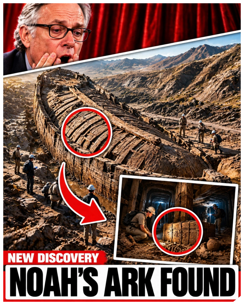
In September 2026, a drill rig bit into a boat-shaped hillside in eastern Turkey.
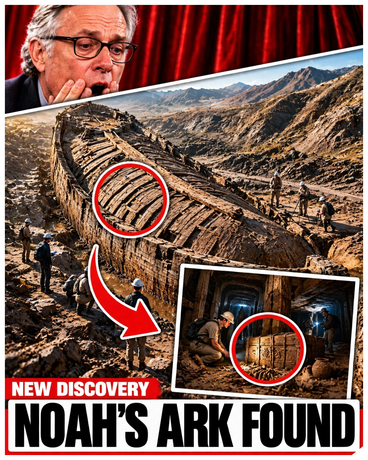
Researchers reported that in the holes they corded inside the formation, they did not hit solid rock, even at depths of up to 18 m, nearly 60 ft.
They also reported hitting hollow spaces underground, and one of those hollows was filled with mud and water.
For decades, people have argued that this ridge, a few miles from Mount Ararat, holds an the buried remains of Noah’s ark.
Now, for the first time, someone is looking inside it.
Videos and headlines have already gone further than the researchers.
Some say scientists have entered Noah’s Ark, or that what they found is shocking.
I searched for any report of someone entering a vessel or recovering a timber, and I found nothing like that.
What exists is a drilling program, a set of preliminary readings and laboratory tests that have not finished.
So, this video will separate what has been found from what has been claimed.
The question is simple.
Is the Duropanar Formation a buried ship or a hill that looks like one?
And what could the 2026 cores settle?
Start with the place.
The Durupanar formation lies in the Dobbyazit district of Ara province in far eastern Turkey about 29 km south of Mount Ararat.
It is a long curved ridge of earth running across a slope and from above it has the outline of a ship’s hull.
It first came into view in 1948 after heavy rains and earthquakes washed away mud around it.
In 1959, a Turkish military cgrapher named Ilhan Durupanar noticed the shape in aerial survey photographs, and the formation has carried his name ever since.
The reason people care is its size.
The formation measures about 157 m or 515 ft in length.
The book of Genesis describes the ark as 300 cubits long, 50 wide, and 30 high.
If you use the Egyptian cubit which is about 52 cm, 300 cubits comes very close to the length of the ridge.
That match is striking and it has driven nearly every claim about the site for 40 years.
But the match has a catch.
Genesis does not say which cubit it means and ancient peoples used several different standards.
One early team measured the formation at 164 m and later surveys gave 157.
A comparison that works only if you pick the right measuring stick from several options is suggestive and it is not decisive.
That uncertainty is the reason the question has never been closed.
It is also worth knowing what the Bible says about where the ark landed.
Genesis says it came to rest on the mountains of Ararat in the plural.
In the ancient world, Ararat was the name of a region, a kingdom known as Uratu, and not a single named peak.
So, the text does not point to one mountain and certainly not to a ridge 29 km away.
Other cultures told similar stories, including the Mesopotamian flood tale of Utnapishim in the epic of Gilgamesh.
The tradition is ancient and widespread, but it does not give a map reference.
Mount Arurat itself is a different story.
It is the highest peak in Turkey, rising to about 5,100 meters, and it is a volcano capped with ice for much of the year.
Expeditions have climbed it for more than a century in search of the ark, and some have announced dramatic finds.
None has produced a timber that other scientists could examine and verify.
That long record of announcements without evidence is one reason experts approach each new claim with caution.
And it is also why the Dupinar work with its permits, cores, and laboratory tests is being watched more closely than most.
The wider story of the flood has a real world echo that is worth mentioning.
In the 1920s, the British archaeologist Leonard Woolly found a thick layer of river silt at the ancient city of Ur in what is now Iraq, and he linked it to the biblical flood.
Later, scholars pointed out that the layer marks a local flood and that it does not match the dates of other cities.
The debate shows that flood stories may have grown out of real disasters in the river valleys of Mesopotamia, but it does not point to a ship on a Turkish hillside.
In the 1980s, the Durupanar site became famous worldwide.
A man named Ron Wyatt, an amateur explorer with strong religious convictions and no formal training in archaeology, made a long list of claims about it.
His methods were criticized by working archaeologists including many who share his faith.
The team working at the site in 2026 says it is not connected to him.
The more serious early work came from others and the most important figure was a salvage expert named David Fussold.
Fussled joined the effort in 1985 together with the geoysicist John Bombgardner and he made nine trips to the site.
He pointed to large stones with holes in them in a nearby village which he believed were anchors from the ark.
He published a book in 1988 and became the most credible public advocate of the idea.
Then something unusual happened.
In 1996, Fold co-authored a technical paper with the geologist Lawrence Collins arguing that the formation was a natural feature.
In toward April 1997, he repudiated his earlier belief in a court case in Australia.
Foul died of cancer in April 1998 after years of expeditions that had left him in financial trouble.
What he believed at the very end is disputed.
His biographer reported that he returned to the idea that the site was the ark.
Collins who knew him insisted in a 2016 letter that Fold never changed his rejection.
Anyone who says confidently what Fold thought in his last months is picking a side in an argument between people who knew him.
It is one of the human stories at the heart of this mystery and it shows how hard it is to separate hope from evidence.
In the summer of 1988, Bombgardner and a Turkish [clears throat] geoysicist Sali Byktutin of Adaturk University tried something nobody had done before.
They drilled four holes into the formation with the deepest reaching 10 m.
The cores showed mudflow clay on top and bedrock below with small nodules of the yellow iron mineral lmonite at three levels.
They found no wood, petrified or otherwise.
Bombgardner wrote that drilling alone has limits in finding a buried structure that may have decayed, but he later concluded that the formation was natural mud that had flowed around a ridge of rock.
Berkutin disagreed and he has led work at the site ever since.
His argument is about compaction.
The surrounding landslide terrain sank after the earthquakes.
He says, “But the ship-shaped mass did not, which suggests something unusual lies inside.”
That disagreement between two men who stood at the same drill in 1988 shows how the same data can be read in two ways.
And it shows why a deeper look was needed.
If this investigation has been useful, take a moment to like the video and subscribe to History’s YT.
It helps us keep testing dramatic headlines against what the research supports.
Now, consider the case that the formation is natural because it is specific and it has been published.
In 1996, Collins identified the structure as a doubly plunging sincline, which is a natural downfold of sedimentary rock shaped by erosion.
He went through the claimed artifacts one by one.
A supposed iron bracket was a weathered volcanic mineral.
The walls that seemed braced with metal where natural concentrations of iron minerals in tilted layers.
A piece said to be fossilized wood was a metamorphosed rock and the anchor stones were made of local volcanic stone.
It also helps to remember how active this landscape is.
Eastern Turkey sits on a tectonically busy part of the earth where plates press against each other and earthquakes are frequent.
The earthquakes of 1948 and 1978 are among those that researchers have connected to changes at the site.
Ground that moves, cracks and slides produces ridges, scarps, and odd shapes.
A geologist looking at the formation would say that it is exactly the kind of place where natural landforms can take on surprising outlines, which is why a resemblance to a ship is not enough.
A Turkish geologist, Morat Aja, has described the land form as part of a larger earth flow, a slow slide of soil down a hillside.
He concluded that the shiplike feature is a piece of hard limestone carried down by a slump.
Another objection came from Andrew Snowelling, a geologist who believes in the flood himself.
He studied the survey data and found a layer of limestone with microscopic marine fossils that run straight across the boat shape, which a petrified hole could not do.
His reading is that mud flowed around a block of uplifted rock like water around a boulder in a stream.
There is a further point.
In 1987, a professional radar operator named Tom Fenner spent a day and a half trying to reproduce the radar records that earlier explorers had reported.
He could not duplicate them.
His own survey found a flat reflector that looked like bedrock beneath the mud, not the walls and bulkheads others had described.
Radar at Durupanar had already failed to replicate once.
And some of the sharpest critics of the site are believers who wanted to find the ark and went there hoping to confirm it.
That brings us to 2026 and to a man named Andrew Jones.
He is a software developer and independent researcher who founded a project called Noah’s Arc Scans and he has been examining the formation for years.
His team used ground penetrating radar and thermal imaging.
And in the spring they reported subsurface features that they interpret as decks in a central corridor.
They also reported soil results.
In 2024, they sampled soil at sites inside and outside the formation labeled so that the laboratory did not know which was which.
And they said the samples from inside held about three times more organic material.
Jones has said there is less than a 5% chance that the differences are random.
And he has stated publicly that he believes the formation holds the decayed remains of the ark.
His team has also said it is not looking for an intact wooden ship, only for traces of one.
Critics responded that radar is notoriously unreliable in mountain terrain and that scans are not an identification.
A scholar named Wesley Huff, who believes in a historical flood, said that a boat shape is not real evidence.
That is the argument a drill is meant to answer.
To see why the radar results are contested, it helps to know how the method works.
Ground penetrating radar sends pulses into the ground and records the echoes that bounce back from boundaries between different materials such as soil and rock or wet clay and dry sand.
It does not take a picture.
An operator has to interpret the pattern of echoes and different operators can read the same record in different ways.
In wet clay richch ground on a mountain slope, the signal weakens quickly and the echoes can be confusing which is why critics urge caution and why a physical core is considered the better test.
In June 2026, Turkish government agencies approve permits for the most extensive investigation ever carried out at the site.
It is directed by professor Tanker Atila, an archaeologist at Civas Kumury University in Turkey.
That matters because one fair criticism of the earlier work was that no trained archaeologist was involved.
The fieldwork began on June 29th and it involved about 20 researchers and students from five countries working for roughly 90 days.
According to reports on the season, the team collected nearly a thousand soil samples from about 150 locations.
They also recovered pottery fragments which they believe may belong to a period before the flood described in religious tradition.
That claim needs careful handling.
The pottery has not been published or dated in a peer-reviewed paper and a fragment found near a formation does not show what the formation is.
Core samples were sent to a laboratory in Anara and Professor Atila expects important results in the winter of 2026 to 2027.
The drilling is the part that made the news.
On September 23rd, Noah’s Arc Scans announced that it had begun taking cores at depths of up to 18 meters.
It reported layers of rich organic material, which the team believes could be the decayed remains of the top of a vessel.
It reported that no bedrock or solid limestone had been found in the holes drilled inside the formation, and it reported cavities, including one filled with mud and water.
In early October, Jones said there were 12 core holes inside the formation and four outside, some reaching about 20 m.
These are the facts behind the headlines and they deserve a fair reading.
Finding soil and not solid rock inside a landform is interesting.
It is not what a solid limestone block would produce, but mud flows, landslides, and earth flows are made of soil, so the result may be exactly what a natural earth flow would show.
Organic material is also common in soil.
Cavities can form in many ways, including by water moving through loose ground.
The press release even described the observations as ones that will be tested in the laboratory.
The question of what would survive deserves a moment, too.
If a wooden vessel did rest on that slope thousands of years ago, the wood would have rotted long before now, unless it was sealed in oxygen poor mud, and most would have turned to soil.
What a laboratory could look for is a chemical signature of decayed timber such as lignon breakdown products or traces of the pitch that Genesis says covered the vessel.
But roots, leaves, grass, and animal waste also add organic material to soil and modern contamination is a constant danger.
That is why researchers want clean, documented cores and comparison samples from outside the formation.
It also matters who is speaking.
The university’s own description of the work is more restrained than the project’s publicity.
It does not assume that a ship lies underground.
It sets out to determine whether the shape is entirely geological or whether any evidence of human activity survives within it.
A preliminary claim that the formation is not geological was released by the project and attributed to an unnamed company’s early findings.
That is a press statement and it is not a paper.
Until the lab results are published, nobody outside the team can check it.
So what would settle the question?
The answer is not complicated and it helps to decide in advance.
The strongest evidence would be worked timber or an unmistakable chemical trace of decayed timber recovered from deep inside the formation with the sampling documented well enough for another laboratory to confirm it.
A layer of soil with extra carbon is not enough.
Bitchmen or wood fibers in a continuous core from inside the mound would be a different order of evidence.
The second test cuts the other way.
Colin’s explanation predicts a specific sequence of folded rock layers underneath.
Continuous cores either match that sequence or they do not.
And that is the cleanest way to check the leading natural explanation.
The third is whether the raw data are shared with independent experts who are not told what site they are examining.
And the fourth is whether the results appear in a peer-reviewed journal and not only in press releases and documentaries.
Dating would also matter since any organic material would have to be dated consistently by more than one laboratory.
There is one more part of the plan that explains the phrase about entering the ark.
The team has said it will send a small robotic device called the Gopher drone into any voids that the drilling and scanning identify.
That is the closest thing to entering the formation.
And as of the latest reports, it was still a plan.
A camera sent into a hole in the ground is very different from scientists walking into a ship.
If the device does find something, we will learn more about the shape of the cavity and even then the question will be whether it is a man-made space or a natural one.
The cost and logistics also deserve a mention.
Working on a protected slope in eastern Turkey requires permission from several government agencies and any drilling there has to be planned so that it does not damage a site that may be archaeologically important.
That is why the team describes its approach as non-destructive first with deeper excavation only if the data justify it.
For a project that has attracted so much public excitement, the slow pace of laboratory work can feel disappointing.
But it is the pace that good science requires.
It helps to keep the scale of the possibilities in view.
If the formation is a natural earth flow, the cores will show the layered clay and rock that geologists expect, and the extra carbon will have a simple explanation.
If it holds something made by people, the cores will show worked material, which would be a remarkable archaeological discovery of some kind.
And if it holds the remains of a boat from the flood described in Genesis, it would require a chain of further evidence connecting a decayed structure to that story.
Each step is a separate claim, and each needs its own proof.
So, here is where the evidence stands.
What is confirmed is that the Dupinar formation exists, that it is about 157 m long, and that it has been protected as a national park since 1987.
It is confirmed that the 2026 season involved permitted fieldwork led by a university archaeologist, that cores were drilled to depths of up to about 18 or 20 m, and that samples were sent for laboratory analysis.
It is also confirmed that no part of a vessel has been recovered and shown to the public.
What is probable is that the early readings reflect soil and sediment of the kind found in mud flows and that the lab results will help show whether the extraorganic material is a natural feature or something else.
The project’s own reports describe the results as preliminary and the university has framed the work as a test and not a search for a ship.
What is disputed is nearly everything about interpretation.
Uh whether the formation is a sink line, an earth flow, or something built is still argued.
Whether radar and soil chemistry in this terrain can show buried decks is argued.
Whether the pottery has anything to do with the formation is unknown.
These are real scientific disagreements held by serious people, including people who believe in the flood.
What is false is the claim that scientists have entered Noah’s arc or found proof of it.
No such announcement has been made.
The researchers themselves say they have not claimed a discovery in the laboratory.
Results that could support or reject their reading have not yet been released.
Titles that promise a shocking answer are going further than the evidence does.
And what is unknown is what lies beneath the soil.
The cores are in laboratories now.
The answer may come in the winter and it may be dull or it may be remarkable.
Either way, it will be the first answer built on deep documented samples and it will be easier to judge because the standards for proof are already known.
Remember what has changed.
For almost 70 years, the argument over this hillside ran on an outline, a few surveys and four holes, of which one reached 10 meters.
This year, the drill went deeper and the instruments were better and a university archaeologist was in charge.
That is real progress.
Whatever the cores show, a claim that is willing to be tested is worth more than a claim that is only repeated.
The people on both sides deserve some credit.
The believers who rejected this site did so because they wanted to find the truth and not just a story.
The team that kept drilling is risking its reputation on the result.
If the cores show a natural land form, the question will be closed with dignity.
If they show something stranger, the evidence will be there for anyone to check.
When the laboratory reports finally arrive, will you wait for the evidence or will you decide before it does?