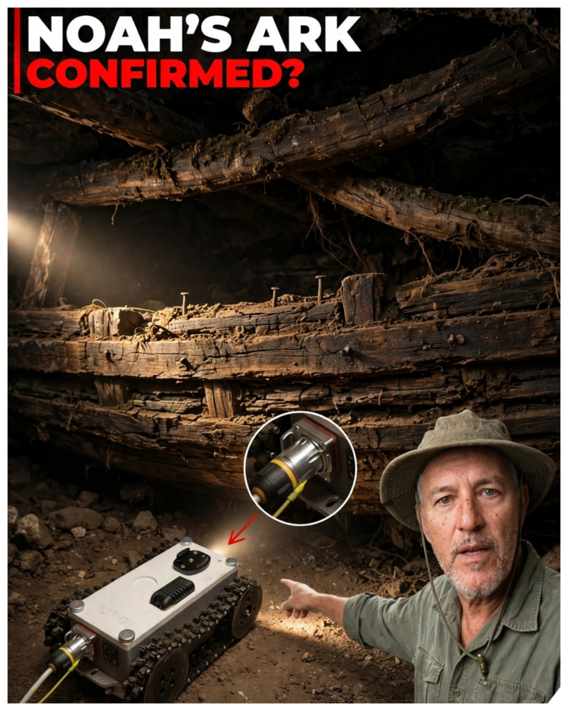
This is the footage that came back after a team lowered a tracked robot called Gopher beneath the so-called Noah’s Ark site near Mount Ararat.
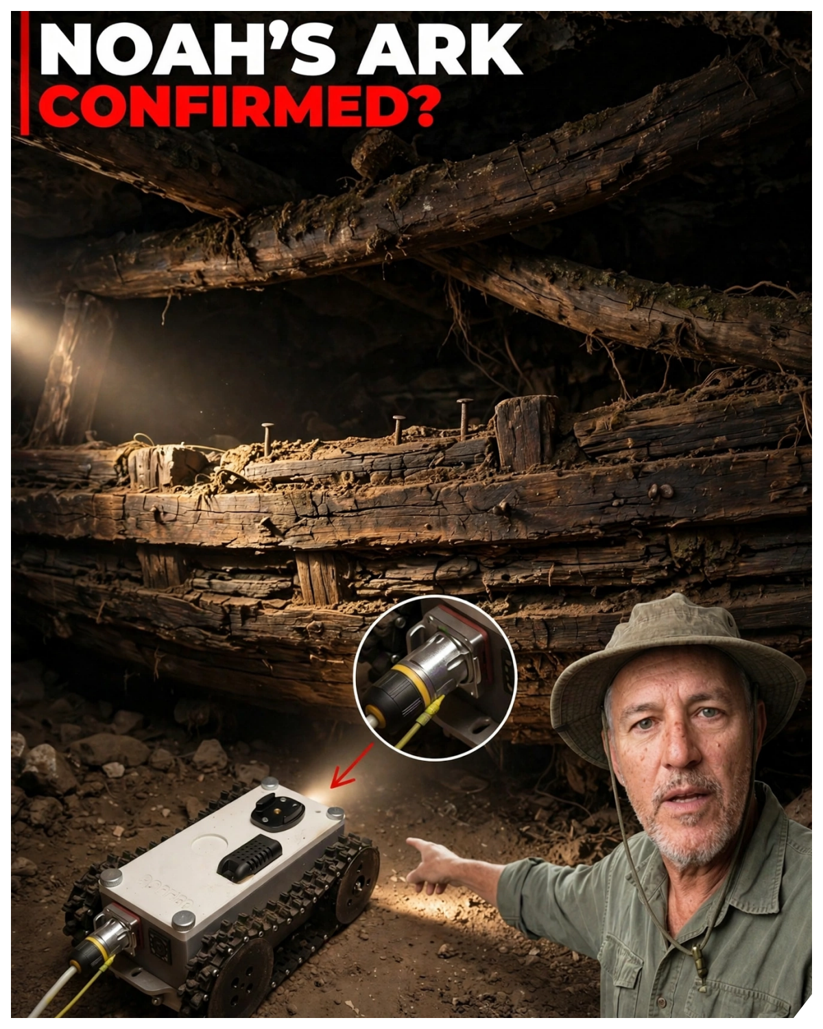
Their radar had pointed it at what might be hidden rooms, but getting a camera down the bore hole was the easy part.
So, what did it actually find?
I’m Ambrose Wild, and if you’ve seen the recent headlines calling the Ark 100% confirmed, this is the clip they were talking about.
The robot’s camera moves down the inside of a narrow drill hole past walls of loose, crumbly dirt.
At one point, you can see an ant walking across the bottom.
The team posted the clip with a caption saying, “No rock or bedrock had been found.”
But a few days before Gopher went in, the same team broke a drill bit in another hole about four to five meters down on a layer they described as harder than limestone.
So, which is it?
Soft ground with no rock in it or something hard enough to snap a steel bit.
That contradiction is the thread we’re going to pull.
And by the end of this video, you’ll know the exact lab test that can settle it and roughly when the results are due.
The reason anyone is drilling here at all is the shape.
The formation sits about 29 km south of the summit of Mount Ararat on the slopes of a separate volcano called Mount Tenderek, a few kilometers from the Iranian border.
From the air, it looks like a long pointed hull lying in the grass, roughly 157 m from end to end.
According to local accounts, it only showed up as a clean outline in May 1948 after heavy rains and a run of earthquakes stripped the mud from around it.
By November that year, an Associated Press story was already carrying a Turkish report of a ship on Ararat.
Then in October 1959, a Turkish army captain named Ilhan Durupinar spotted it in an aerial photo taken during a NATO mapping flight and the site has carried his name ever since.
What surprised me is how quickly the first real test came and how brutal it was.
In September 1960, an expedition that included the captain himself went out to the site and did something you’d never see at a protected site today.
They used dynamite.
After two days of digging and blasting inside the outline, they found soil and rock, and their official statement called the formation a freak of nature.
That should have been the end of it.
Instead, the site sat quiet until 1977 when an American amateur explorer named Ron Wyatt picked it up and spent years promoting it as the Ark.
Through the 1980s, he tried to win over people like the former astronaut James Irwin, who was a committed ark hunter himself.
And Irwin wasn’t convinced.
Wyatt’s team also pointed to a set of huge standing stones in the nearby village of Kazan, each with a hole cut through one end.
They argued these were drogue stones, heavy weights that ancient sailors hung off a ship to keep it pointed into the waves during a storm.
Keep those stones in mind because they come back later.
How did the whole idea survive a dynamite crew and a skeptical astronaut?
Mostly because of one number.
Genesis gives the ark’s length as 300 cubits.
The trouble is that a cubit was never one fixed length.
It’s roughly the distance from your elbow to your fingertips.
And different ancient cultures standardized it differently.
Use the common biblical cubit of about 45 cm and 300 of them comes to around 135 m which is a good 20 m short of this formation.
To get the famous match you have to switch to the Royal Egyptian cubit of about 52.3 cm.
And even then, the target moves because the salvage expert, David Fold, who joined Wyatt in 1985 and reportedly called it a shipwreck the moment he saw it, measured the formation at [snorts] 164 m.
The team’s founder has described the site as the exact length of the ark given in the Bible.
That only works if you pick one particular ruler and one particular measurement of the hill.
There’s a second problem with the shape and this one comes from the text rather than from geologists.
The Hebrew word Genesis uses for the ark is tear which means a box or a chest and the proportions it gives 300x 50 by 30 cubits describe a long rectangle.
A pointed bow and a tapered stern.
The very feature that makes this hill look like a ship is a shape the description never calls for.
Genesis also describes three decks stacked one above another, while the team scans describe three sections sitting inside a single bottom layer.
That’s part of why some of the sharpest push back on this site has come from Bible believers.
The young earth creationist ministry, Answers in Genesis, has argued that the team’s founder had settled on his answer before the surveys were even run.
Even the location is looser than it sounds.
Genesis says the ark came to rest on the mountains of Ararat plural.
Ararat is the biblical name for Uratu, an ancient kingdom that spread across this whole highland region.
So the text points to a region rather than a single peak, let alone one hillside.
The Quran names a different mountain altogether, Mount Judy.
Fold later claimed that locals called a peak near this formation by that name, but that link is disputed.
So the outline can’t carry the claim by itself and everyone involved knows it.
That’s why the search went underground starting with radar.
Ground penetrating radar works a bit like shouting into a canyon and listening for the echo.
An antenna fires short pulses of radio energy into the ground.
And every time a pulse hits a boundary where the electrical properties change, part of it bounces back.
A wet layer sitting on a dry one can do that.
So could a buried pipe, a pocket of air or water, a band of clay, or a crack running through rock.
What the radar records is the boundary itself.
So on its own, it has no way of telling wet clay from old timber.
The team has also used electrical resistivity, which works differently.
Instead of echoes, it pushes a small electric current through the ground between metal stakes and measures how hard the ground pushes back.
Wet clay lets current through easily, while dry rock and voids resist it.
That’s useful for spotting where the ground changes, but the images get blurriier the deeper you go, and turning blurry patches into neat corridors takes a lot of interpretation.
This particular hill makes the job harder.
Clay and water soak up radar energy fast, which is why surveys in wet clay often get only shallow readings.
One field study in South Australia blamed exactly that kind of signal loss on clay conductivity and iron oxides in the soil.
Now look at what the formation is made of.
A 1996 geology paper on this site describes the boat’s supposed walls as concentrations of lmonite and magnetite, which are both iron minerals.
In other words, the material that draws the outline of the hull is the kind of material that muddies a radar picture.
To pull detail out of weak returns, operators boost the deeper signal during processing, and that boost amplifies the noise along with anything real.
Radar has a strange history at this site, too.
Back in 1985, Fold arrived with radar gear and a device he called a frequency generator, which was supposed to be tuned to find iron inside the formation.
His team reported a regular internal pattern back then, too.
And as you’ll hear later, Fold himself ended up rethinking what had caused it.
Andrew Snelling, a geologist writing for a creationist magazine, later compared that gadget to dowsing rods, the kind of thing you’d see advertised in treasure hunting magazines.
Since 2019, the current team, a group called Noah’s Arc Scans, founded by Andrew Jones, has run modern radar and resistivity surveys and reported straight lines, right angles, and spaces.
They interpret as corridors and chambers.
Then on October 1st, they released a preliminary report from a defense engineer named Kosro Baktar, whose radar system, according to the release, has been used to map hidden tunnels under the border between the United States and Mexico.
He told the team the structure beneath the formation is organized and not geological.
He also says the same instrument didn’t pick up anything similar in the surrounding valley.
And comparing the formation against the ground around it is exactly the right kind of test.
But in that same release, he said, “It could be a ship.
It could be a spaceship.”
Those were his exact words.
Think about what that admits.
Even the strongest radar reading on this hill can’t tell a wooden ship from a spaceship because radar was never going to name a material.
His full technical report is due in November.
Until then, the only way to find out what made those shapes was to put a camera inside them.
That’s the job they gave Gopher.
And the robot’s backstory is better than most of the headlines.
It was designed by Robert Ross, a roboticist at LROE University in Australia, and it’s adapted from machines he originally built for wildlife scientists.
One was called Wombot for crawling into wombat burrows.
Another called Armabot went into armadillo burrows in French Gana.
This version was named after the gopher wood that Genesis says the ark was built from.
And the plan sounded simple.
Drill narrow holes down to the spots the radar had flagged, lower the robot through them, then let it drive off into the voids and film whatever was waiting there.
On September 25th, they sent it down.
The clip shows the robot inside one of the core holes drilled to about 12 m with the camera creeping along walls of loose sediment.
There’s no timber in the frame.
There are no beams, no joints, no metal fittings, nothing with a straight cut edge that says a person built it.
There’s dirt and that ant.
If you were hoping to see the hull of a boat, what you actually get is what you’d expect from lowering any camera down any hole.
To the team’s credit, they were open about what went wrong.
Their own caption said Gopher had trouble moving across the very loose sediment on the floor and that the robot needed modifications before it could even look around.
That next attempt could still matter.
If Gopher reaches one of the mapped voids and films its walls up close, the difference between a natural pocket in mud and a room someone built should be obvious.
So, how much of the target did the camera actually inspect?
From what’s been released?
Very little.
What it filmed was mostly the drill hole itself, the narrow tunnel the drill had just cut, and a robot that couldn’t yet drive out of it.
That’s why the caption saying no rock or bedrock was found doesn’t follow from the footage.
A camera stuck in loose sediment at the bottom of one fresh hole can’t rule rock in or out anywhere else on the hill, and it can’t explain the hard layer that broke the drill bit in a different hole.
When Newsweek covered the clip, it pointed out the claim hadn’t been independently confirmed.
If the footage can’t answer the question, what evidence would it take to honestly call this a buried ship?
Hold on to that because there is a real answer and it’s going to come from the drill cause rather than the camera.
Core drilling started on September 21st and on paper, this is the most serious physical work the site has ever had.
The project runs under official Turkish permits and is led on the Turkish side by the archaeologist Sena Atilla of Casumhurette University.
And for all the 100% headlines, Jones himself has been more careful in places, saying the evidence hasn’t definitively identified the formation as the ark, even though he firmly believes it is.
The team has pulled cores from as deep as 18 m down.
And they also did something I want to give them real credit for.
They drilled control holes outside the outline so the lab can compare what’s inside against the ordinary mountain side right next to it.
That comparison could turn out to be the most useful thing this whole expedition produces.
It helps to know how the last attempt went.
A drilling effort back in 1988 only managed a few holes, nowhere near this depth.
And according to the current team, those samples were spoiled by the water used to cool the drill bit.
This time they’re drilling dry with no fluid going down the hole.
Then came the hard layer.
On the second day of drilling, in a hole inside the outline, the bit hit something at around 4 to 5 m and broke.
The team raised the possibility of petrified or heavily mineralized wood and said samples would go to independent labs.
Their press release even shows a piece of wood preserved in quartz that it says a tourist found at the site.
In fairness, petrified wood is usually much harder than limestone.
So, the idea isn’t unreasonable.
But here’s the problem.
A broken drill bit tells you the layer is hard.
It doesn’t tell you what the layer is made of.
This formation sits on the side of a volcano, and dense volcanic rock is an ordinary thing to hit on a volcano’s flank.
The team has also reported cavities in the holes, including one that kept filling with water while they drilled, which is worth keeping in mind every time radar voids get described as rooms.
Water is one of the strongest things radar can bounce off.
So, a soggy cavity in the mud can light up a scan just as clearly as an empty chamber would.
There’s soil chemistry as well.
The team says that in 2024 it tested 88 soil samples from inside and outside the outline and found about three times as much organic matter inside with potassium roughly 38% higher.
That’s interesting because it means the ground inside the outline is different from the ground around it and the lab work will have to explain the cause.
A separate project that started in 2021 involving Istanbul Technical University reported clay, marine material, and mollisk remains and linked human activity in the region to somewhere between 5,500 and 3,000 BC.
Marine fossils high in mountains are usually explained by tectonic uplift, old seabeds pushed upward over millions of years.
And signs that people lived somewhere in this region thousands of years ago don’t say anything about what’s buried inside this particular hill.
Now the cores are packed into refrigerated storage.
The labs are lined up and the team says results should be announced by late spring 2027.
It has also announced its next big goal which is searching for ancient animal DNA inside the voids the radar mapped.
That plan runs straight back into Gopher’s problem.
Before anyone can sample a room for DNA, something has to get into the room.
And from what’s been released, the robot hasn’t yet made it past the bottom of its hole.
Which brings us back to the question I asked you to hold on to.
What would a lab have to find?
Archaeologists would want three things.
And they’d want them in order.
First, identify the material.
Petrified wood isn’t identified by hardness or by a pattern that looks a bit like grain.
According to Oregon’s state geology department, fossil wood can only be identified when it shows clear, undistorted cell structure.
Specialists cut slices thin enough for light to pass through in three directions, one across the trunk and two along it, and then study them at magnifications anywhere from 30 to 400 times.
If that hard layer is wood, those slices will show cells.
If it’s volcanic rock, they won’t.
Second, even real wood doesn’t make a ship.
Logs can end up buried in a hillside through landslides, floods, or old forests that once grew there.
A vessel needs evidence of human work.
Things like cut and shaped surfaces, tool marks, joints, or fastenings.
Third comes context.
A few scattered fragments don’t add up to a hole.
You’d need that worked material laid out in a continuous shape inside one undisturbed layer and clearly different from whatever turns up in the control holes outside the outline.
Fail the first test and the other two never come up.
We already know what happens when material from this site goes under a microscope because it’s been done and the story behind it is the strangest part of this whole saga.
Fasold, the salvage expert who measured the hull at 164 m, was once the formation’s loudest champion.
He published a book in 1988 arguing it was the ark.
After more fieldwork in the 1990s, though, including a 1994 visit with an Australian geologist, he started to doubt it.
In 1996, he wrote that geology paper I mentioned earlier together with the geologist Lawrence Collins in the journal of geoscience education.
And the conclusions were blunt.
A supposed iron bracket turned out to be weathered volcanic minerals.
The metal braced walls were natural bands of iron minerals in steeply tilted rock layers, part of a fold that geologists call a doubly plunging sinkline.
The fossilized gopherwood bark was crinkled metamorphosed peridotite, a rock that originally forms deep inside the earth.
The paper also pointed to limestone containing fossils that appears to cut across the fold.
If that reading is right, the layers people call flood deposits, would be younger than the ark they supposedly buried, which turns the whole timeline upside down.
And those standing stones in Kazan, the supposed storm anchors, turned out to be made of local volcanic rock, not anything carried up from Mesopotamia, where the ark was supposedly built.
A year later, testifying under oath in an Australian court case, Fel described the claim that the ark had been found as absolute nonsense, though he used a ruddder word than that.
And yet, his friend and biographer later wrote that he never fully let go of the idea.
I find that the most human part of this entire story.
He was a man who could see the evidence clearly and still feel the pull of that shape on the hillside.
He wasn’t the only one who walked away.
Snelling, the creationist geologist, had reached the same verdict back in 1992.
And in 2025, a geologist at Turkeykey’s General Directorate of Mineral Research and Exploration published a report concluding that the formation was shaped by a landslide.
That means the people who’ve rejected this as the ark include believers, skeptics, and Turkeykey’s own state geologists.
None of that proves the new cores will come back as rock, but it sets a high bar.
And the place that bar gets cleared is a lab bench with slices under a microscope.
So, what did gopher’s camera actually reveal?
It showed a freshly drilled hole in loose sediment, a robot that couldn’t yet drive into the spaces it was sent to film, and an ant.
That’s the honest answer, and I don’t think it’s a disappointing one.
What the footage really exposed is the gap between what each tool on this hill can do and what the headlines said it did.
The photographs gave everyone a shape.
The radar gave them echoes and the camera gave them dirt.
The only things on this site that can name a material are sitting in refrigerated core boxes right now.
The first thing to watch arrives in November when Bactar’s full radar report is due.
What matters is whether it includes the raw data.
So other specialists can check whether those corridors hold up.
When the lab results land next spring, look for these three things.
Look for thin slices from that hard layer showing actual wood cells.
Look for signs of shaping, cut faces or joints rather than natural breaks.
And look for the cores from inside the outline to differ from the control holes in a way that points to something built.
If all three show up, this hillside earns a serious place in archaeology.
If the slices show volcanic rock, the verdict of that 1960 Dynamite crew will be looking very good 67 years later.
I’m Ambrose Wild, and when those lab results come out, I’ll go through them here, line by line, along with more investigations like this one into the machines and expeditions chasing history’s biggest claims.
Subscribe so you’re here on the day those cause finally come back.