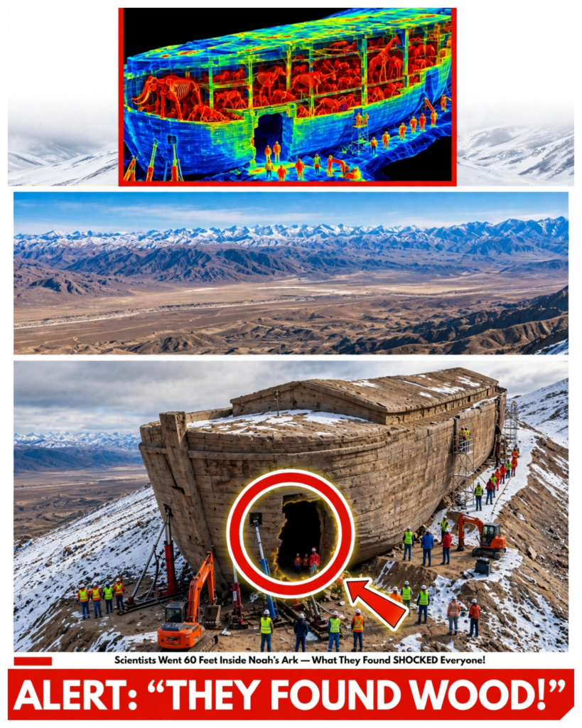
Team of American researchers working in the high mountains of Turkey have uncovered what appear to be hidden tunnels similar to the descriptions of the biblical account of Noah’s [music] arc.
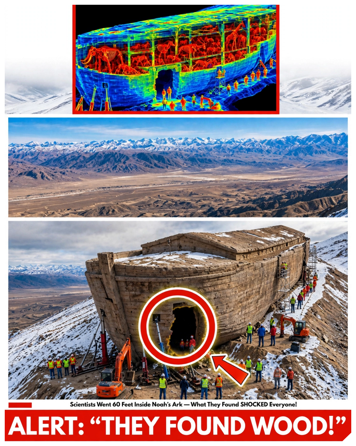
In 1959, a Turkish army captain named Ilhan Durupanar sat at a light table in Anara studying aerial photographs of the mountains along the Iranian border and found a boat.
He wasn’t looking for one.
The photographs came from a NATO mapping survey of eastern Anatolia.
Thousands of overlapping pairs of images, and his job was to review them for the mapmakers.
It was dull work.
Ridges, valleys, villages, snow.
Then on a slope about 30 km south of Mount Ararat, at an altitude of roughly 2,000 m, he saw a shape in the mud, long, pointed at one end, rounded at the other, with a raised rim running all the way around, like a hull pressed into the hillside.
When the shape was measured from the photographs, it came to around 157 m, about 515 ft.
And that number means nothing until someone points out that 300 cubits, the length Genesis gives for Noah’s ark, comes out to 515 ft if you use a particular cubit.
The captain sent the photograph up the chain.
It reached a photogometry expert at Ohio State University.
And in the summer of 1960, an expedition arrived on that hillside with a photographer from Life magazine and a supply of dynamite to find out whether the object in the mud was the most important thing on Earth.
Four generations of people have dug at it, each carrying better equipment than the last.
And every generation has found with remarkable consistency exactly what it came looking for.
So let’s begin with the hill.
The hill the durupanar site sits in the doayaz district of eastern Turkey in the foothills south of Ararat above a Kurdish village called Uzenili.
It is high dry treeless country and unstable.
The slopes are made of soft clays, crumbling volcanic rock and limestone, and they move.
Landslides and mud flows have run through those valleys for as long as there have been valleys.
That instability is not a figure of speech.
In 1840, a massive earthquake shook Mount Ararat, triggering a catastrophic avalanche and mudslide that buried the Armenian village of Akuri and its monastery.
This is a region where two great tectonic plates are grinding together, where the ground cracks and slides and reshapes itself in a human lifetime.
The terrain looks like something that has slipped downhill countless times and will do so again.
In the middle of one of those slopes sits the shape.
From the air, it is unmistakable.
On the ground, it’s a long, low boat-shaped mound with a rim of earth and stone along its edges, a hollow in the middle and its pointed end facing uphill.
It looks like a ship because it is shaped like one.
Nobody who has stood on it has ever said otherwise.
For 67 years, the argument has been about why the mountain above it explains the attention.
Genesis says, “The R came to rest on the mountains of Ararat, plural, a region rather than a peak.”
The word echoes Uratu, an ancient kingdom around Lake Van that appears in Assyrian inscriptions from the 9th century BC.
But for a thousand years, people have assumed the biblical mountain was the great volcano on the Turkish Armenian border.
Expeditions have been climbing it since the 19th century with the first recorded modern ascent by Friedrich Parrot in 1829.
All looking for timber in the ice.
None has ever come back with anything that survived scrutiny.
In 1955, a French explorer named Feran Navara brought down pieces of wood he said he had found high on the mountain, and later laboratory tests suggested they were roughly 1,400 years old from the early medieval period.
A Hong Kong group announced in 2010 that it had found ancient wooden compartments near the summit.
Claims that scientists doubted and that people involved later disputed and other traditions placed the landing elsewhere.
In the Quran, the ark rests on Aljudi, a mountain in the Kurdish highlands near the Tigris.
In the Babylonian epic of Gilgamesh, written in the second millennium BC, the flood hero Utnapishtim lands on Mount Nimush, east of the Tigris.
Even more striking, in 2014, the British Museum’s Irving Finkele published a Cunia form tablet roughly 3,700 years old that describes the Mesopotamian ark in detail.
It instructs the builder to make a vessel that is round, a giant coracle with a floor area of about 3600 square m, built from rope and reads and waterproofed with bumen, not a long hull, a basket.
So, when a boat-shaped formation appeared in a photograph 30 km from the summit on a hillside reachable by road with no glacier to dig through, it tapped into more than a century of longing.
That’s the ground this story grew from.
And the first people to test it came with dynamite.
Dynamite and dirt.
The 1960 expedition arrived with a geologist, an archaeologist, a life photographer, and the captain himself.
They spent about 2 days on the formation.
They dug trenches.
They planted charges and blasted holes in the rim.
Think about that for a moment.
You don’t blow holes in something you believe is a 4,000-year-old wooden ship.
The method alone tells you how little they expected to find.
What the dynamite revealed was soil and rock, no timber, no planking, no metal.
The geologist concluded that the shape was a natural formation, an unusual product of erosion.
The expedition went home and life ran the photograph with a short article explaining that the ark had not been found.
It’s worth pausing on that 515 ft figure because it’s the foundation of the whole story.
The length of the ark in Genesis is 300 cubits.
But a cubit is not a fixed unit.
The common ancient cubit was about 17.5 in which gives 437 ft.
A cubit of 18 in gives 450 ft.
The Egyptian royal cubit around 20.6 in gives roughly 515 ft.
Believers picked the longer cubit because it matches the hill.
And the hill’s own length has been reported differently by different surveys from about 157 m to about 164 m, which is 515 to 538 ft.
When both the ruler and the object being measured can be adjusted, a match is easy to find.
The width tells a similar story.
Genesis gives a ratio of 6:1 length to width.
The formation is closer to 3:1.
And Genesis uses the Hebrew word tea for the vessel, a word used elsewhere in the Bible for the little basket that carried the infant Moses.
It describes a box, not a ship with a pointed bow.
So the first test was done and it came back as dirt and the story ended for 17 years.
The Nurse and the Standing Stones.
In 1977, an American named Ron Wyatt visited the hillside.
If you’ve watched my video on the Red Sea, you know him.
A nurse anesthetist from Tennessee.
A devout 7th day Adventist with no archaeological training and an unshakable conviction that the physical remains of the Bible lay scattered across the Middle East waiting for someone faithful enough to find them.
He’d come to Turkey among other reasons on his way to look for Egyptian chariots and Durupanar became one of his first great claims and the one he held on to most fiercely.
Wyatt declared the formation was the ark.
He said the rim was the petrified hull.
He said he had found iron rivets and brackets, the metal that had held the timbers together, and that a metal detector passed over the site, picked up regular lines like a ship’s ribs.
He said, “A piece of petrified wood layered like plywood was the gopher wood of Genesis.”
And he pointed to a group of large standing stones with holes drilled through the tops a few kilometers away and called them the arks drogue stones.
Anchors dragged behind the vessel to keep it steady in the flood.
Through the 1980s, he brought visitors, and the site drew a steady stream of Americans, some with equipment.
The stones deserve special attention because they are the one part of this story that’s genuine archaeology, just not the kind the believers hoped for.
There are about a dozen of them near a village called Kazan, also spelled arzap, a few kilometers from the formation.
They are large slabs of Andesite, taller than a man, each pierced near the top.
Archaeologists who have studied them say they belong to a type of standing stone found across the region and that several carry crosses carved by Armenian Christians centuries ago who reuse them as grave markers.
That is a quietly fascinating detail.
It means local people were already connecting these hills to the ark story centuries before anyone owned an airplane.
The legend didn’t begin in 1959.
It was already in the landscape.
Wyatt died in 1999.
The wider archaeological community has never accepted his claims whether about this site or his others.
But the next visitor was harder to dismiss.
The sailor and the radar.
David Facold was a merchant marine officer and ship salvage specialist, a man who had spent his life around hulls and wrecks.
He came to the hillside in 1985 with a geoysicist John Bombgardner, a physicist at Los Alamos and like facold a believer and a ground penetrating radar.
Ground penetrating radar sends pulses into the earth and records the echoes that bounce back from boundaries between different materials.
And the echoes, Facult said, showed lines neat and regular.
He read them as the frames and bulkheads of a hull laid out on a grid with a keel running down the center.
He was convinced.
In 1988, he published the Ark of Noah, laying out the whole case, the measurements, the radar lines, the stones, the metal.
He wrote with the confidence of a man who knew what the inside of a ship looked like.
But here is what a radar image actually is.
It is not a photograph of what lies underground.
It is a record of reflections.
Every change in the ground from clay to rock, from wet to dry, from one layer to the next produces an echo.
Sedimentary rock lies in layers.
Layers produce lines.
When those layers are tilted, they produce slanting lines.
When they are cut by fractures, they produce lines that cross.
A radar operator who expects to find a ship will see frames and bulkheads.
An operator who expects to find bedding planes will see bedding planes.
The data has to be interpreted and interpretation is where expectation lives.
And Facult to his credit kept going back the paper.
The more he investigated, the weaker the evidence became.
In the early 1990s, he teamed up with a geologist, Lorent Collins, of California State University, Northridge, and they did something nobody had done before.
They took the claims and the samples and tested them in a laboratory.
In 1996, they published a paper in the Journal of Geocscience Education with a title that leaves little room for doubt.
Bogus Noah’s Ark from Turkey exposed as a common geological structure.
Here’s what they found.
The boat shape is a block of hard rock, limestone, and a volcanic rock called Andesite surrounded by a slope of soft mudflow deposits.
The mud flowed around the block and eroded away on both sides, leaving a streamlined, pointed island of harder material standing out.
It’s the shape water makes around a rock in a stream or wind makes around a stone in sand, only at the scale of a hillside.
The raised rim is the harder outer edge.
The hollow in the middle is where the softer interior eroded.
The region helps explain the rocks.
Eastern Turkey sits where an ancient ocean, the Neotethus, closed as the Arabian and Eurasian plates collided, squeezing slivers of seafloor and marine limestone up onto the land.
Chunks of that oceanic crust calledes are scattered through the region.
A hillside like this one is full of hard, odd-shaped blocks sitting in soft ground.
The artifacts fell apart under examination.
The iron bracket was a lump of weathered volcanic mineral.
The metal that the detector found and the regular lines were bands of iron minerals, lemonite and magnetite naturally present in the tilted layers of the block.
The gopher wood was a piece of paridotite, a rock that splits naturally into sheets.
The anchor stones were local andite.
[music] The radar lines were the rocks layers.
The whole case for the ship had been geology misread by people who badly wanted to see a ship.
Collins and Facult also explained why the hill had been noticed.
The whole slope is covered in mudflow features and boatshaped remnants are common in that kind of terrain.
A geologist walking those hills would expect to find several.
This one became famous because it was the right length and was photographed from the air by someone in a country where the ark was already believed to have landed.
The anomaly they argued wasn’t the hill, it was the attention it received.
I want to pause on Fold because he’s the most fascinating person in this story and he’s barely mentioned today.
He was a believer who went to the hillside and tested his belief against the rock.
And when the rock said no, he said so in print, putting his name on a paper beside a geologist’s in a scientific journal.
That’s rare.
It’s what we hope people will do, and almost nobody does.
And then according to accounts of his final years before his death in 1998, he drifted back toward believing, not because the rock had changed, because he wanted to.
He had given his life to that hillside and he couldn’t accept it as a lump of limestone.
I don’t know what to do with that except to tell you it happened and that I understand it.
The park and the quiet.
In 1987, the Turkish government designated the site a national park and built a visitor center.
Signs there still say Nuhun Gi, Noah’s ship.
So, the first chapter ends like this.
A shape, a failed excavation, a believer with a metal detector, a sailor with radar, a laboratory paper, and a tourist attraction.
Then, for 20 years, things went quiet.
The park stayed open.
Believers kept coming and photographing the rim.
The geologists reasonably moved on since they felt they’d answered the question.
And then a new team arrived with better machines.
The new team, they call themselves Noah’s Ark Scans.
They’re an American group led by a man named Andrew Jones who has spent decades on the ark question and now lives in Turkey much of the year.
Since around 2019, they’ve been working the Durupanar site much as Facult did in 1985, but with instruments 30 years more advanced.
[music] In 2019, they ran ground penetrating radar across the formation.
In 2021, they used electrical resistivity tomography, which measures how well the ground conducts electricity at different depths.
In 2023, they collected soil samples from inside and outside the outline and sent them to a laboratory at Istanbul Technical University.
And in the spring of 2026, they announced results.
The soil inside the outline, they said, contained roughly three times more organic material than the soil outside it and about 38% more potassium.
Both, they argued, fit a large mass of wood decaying in place.
Then came a three-dimensional imaging radar called Bkar radar, designed by an engineer named Kosro Baktar.
According to the team’s reading, it showed angular features down to about 6 m.
A central passage running the length of the formation with spaces branching off and a corridor more than 250 ft long arranged they said on three levels three decks matching Genesis I want to be careful about what that represents a press statement none of it has been published in a scientific journal the radar images show reflections and the team reads the reflections as corridors and rooms but geologists who’ve looked at similar data point out that tilted layers, fracture planes, and boundaries between hard and soft rock produce exactly those straight lines and right angles.
Radar can’t tell a bedding plane from a ship’s bulkhead.
The soil chemistry has planer explanations, too.
A raised mound of hard rock in a muddy slope drains differently from the surrounding clay and holds moisture and vegetation differently.
Grazing animals leave their mark and potassium isn’t a signature of wood.
It’s abundant in clays and volcanic rocks, especially in a region with this geology.
Without a baseline of nearby natural mounds, a difference between inside and outside doesn’t say what caused it.
To their credit, the team has acknowledged that anomalies aren’t proof and that physical samples are needed.
So, this year, they went to get them.
The drill.
On June 29th, 2026, field work began under a permit from the Turkish authorities coordinated by the archaeologist Sanker Atila of Sivas Kumhuryat University with about 20 scientists and students from five countries.
They laid out a grid, repeated the radar scans at higher resolution, and collected soil samples from across the site.
Reports of the exact numbers vary from a few hundred to around a thousand samples from some 150 locations inside and outside the outline.
Then in September, for the first time in the site’s history, they brought in a drilling rig to take cores directly from the formation.
Core drilling began on September 21st with a dry drilling system that uses no water reaching about 18 m nearly 60 ft and somewhere around 4 to 5 m down.
The bit broke, was replaced, and drilling continued.
The deeper cores contained layers the team describes as rich in organic material along with cavities, voids, and places where the drill dropped.
That’s the moment this video’s title refers to.
So, let me be straight with you about what’s established and what isn’t.
What’s established by the team’s own account, the drill met an extremely hard layer at roughly 15 ft.
The bit broke, was replaced, and drilling continued.
The deeper cores contained layers the team describes as rich in organic material along with cavities, voids, and places where the drill dropped.
What’s unknown is what the hard layer is.
The team has said it could be petrified or mineralized wood.
A geologist would offer a simpler candidate.
A band of limestone belonging to the hard block, which is hard, sits at roughly that depth and is exactly what you’d expect to hit when you drill into a boat-shaped limestone block.
The samples are in a laboratory.
Results are expected this winter or by spring 2027, depending on the report, along with another field season next summer.
And here the story has moved since the early reports.
The team’s robot gopher designed by Dr.
Robert Ross of Latroe University in Australia has reportedly been lowered into the bore holes.
Ross adapted it from small crawling robots he built to explore wombat burrows in Australia and armadillo burrows in French Gana.
The team has since claimed that the robot and the drilling found no continuous bedrock and showed voids that in their reading suggest something man-made.
Those are claims in a press release.
Footage and measurements have not been published for independent review.
Let me explain why a core matters so much.
Radar sends a pulse and you interpret an echo.
A metal detector beeps and you guess what’s metal.
A surface soil sample tells you what has grown and decayed recently.
A core gives you the ground itself laid out in order inside a tube.
You can see whether the hard band at 5 m is a limestone bed running across the whole block complete with marine fossils or something else entirely.
You can see whether the organic material is roots, pete and old grass or something with the cellular structure of wood.
You can test its carbonate content.
You can look at it under a microscope.
It’s the only instrument on that hillside that hands you the object instead of a picture of it.
That’s why it took 67 years to get one.
You can bend a picture to fit what you need.
You can’t do that to a piece of the ground.
There’s one more thing worth knowing.
If the team does recover wood, dating it isn’t simple.
Radiocarbon dating works on organic carbon and can measure ages back about 50,000 years.
But truly petrified wood has had its organic material replaced by minerals.
So there’s no carbon left to date.
And ordinary buried wood can be contaminated by groundwater or by roots from later vegetation.
A date of 4,000 years would mean one thing.
A date of 400 or 4 million would mean something else entirely.
The test is only as good as the sample.
The pattern, let me lay it out.
A captain in 1959 spots a boat-shaped formation in an aerial photograph with a length that using one particular cubit equals 300.
An expedition in 1960 uses dynamite, finds dirt, and goes home.
A nurse in 1977 finds iron brackets, gopher wood, and anchor stones and declares it the ark.
A sailor in 1985 uses radar, sees frames, and a keel and writes a book.
The same sailor in 1996, working with a geologist, tests the samples and publishes a paper naming limestone, lemonite, peridotite, andite, and mudflow before drifting back to belief.
A park and a sign.
A new team in 2019 uses better radar and sees corridors and three decks.
Soil samples in 2023 show more organic material inside the outline.
A permit, a university, a drilling rig in 2026, cores to 60 ft, a hard layer that breaks a bit, cavities, a wombat robot, and not one sample from inside that formation in all those years published in a peer-reviewed journal as anything but rock.
There’s a pattern here I can’t stop noticing.
Every generation has arrived with an instrument, and the instrument has shown them what they expected.
Durupanar brought a camera and saw a boat.
The 1960 expedition brought dynamite and found dirt because they came expecting to disprove it.
Wyatt brought a metal detector and found metal because a metal detector over iron rich rock will find metal wherever you point it.
Facult brought radar and saw frames.
Then brought a geologist and saw layers.
The latest team brought better radar and saw corridors.
And the one thing the hillside lacked until this September was an instrument that doesn’t depend on interpretation, a drill and a core, a piece of the ground in a tube sent to a laboratory where nobody knows what it’s supposed to be.
That’s what changed this year, not what they found.
They finally used the one tool that can’t simply show you what you want to see.
There’s also something about the geology that I find even more fascinating than the ship.
A mud flow behaves like an extremely slow liquid.
When it meets an obstacle, a block of rock that won’t move, it flows around it, leaving the block standing in a tapered pointed shape with the point facing uphill into the flow and the rounded end downstream.
Just like a boat’s bow facing a current.
[music] Just like the durupinar formation whose pointed end faces uphill.
The very shape that makes people imagine a ship is the shape moving earth makes around a rock.
A ship’s hull is shaped to do in water what that rock did in mud.
The ark’s shape is real.
Nature just got there first.
So here’s the mainstream position.
And I think it’s correct.
And I’ll tell you where the one open question remains.
Essentially, every geologist who has studied the site concludes that it’s a natural feature, a block of harder rock, limestone, and ofolite in a slope of soft mudflow deposits shaped by water and gravity into a streamlined form.
The rim is the hard outer edge.
The hollow is the soft center.
The radar lines are bedding planes and fractures.
The metal is mineral.
The wood is rock and the anchor stones are standing stones.
If the organic material inside the outline holds up, it’s more likely explained by drainage and vegetation on a raised mound than by a rotted ship.
And the length is a coincidence, which sounds like an excuse until you remember that a hillside contains many lengths and someone chose which one to measure and which cubit to divide by.
I’ll add that even people who take the Genesis flood most literally are divided.
Major young earth creationist organizations, the very groups you’d expect to want this to be the ark, have generally examined the site and rejected it because they’ve read Collins and Fac because Genesis describes a box and the formation has a pointed bow and because they know what a landslide looks like.
When believers and geologists land in the same place, that’s usually a good sign.
The open question is what the cores contain.
The 1960 expedition dug a few feet into the rim with explosives.
Facult’s radar never touched the ground.
The latest team’s earlier samples came from the surface.
Until this September, nobody had ever pulled a column of material showing what the formation is made of at 15, 30, or 60 ft.
Now, someone has the hard layer, the cavities, and the organic bands will have measurable compositions, and if they contain suitable carbon, they might be datable.
And the silence in this story isn’t what you’d expect.
Nobody is hiding Durupanar.
It’s a national park with a visitor center and a sign calling it Noah’s ship.
The Turkish government approved the drilling permit and a state university is overseeing the work.
Believers have had open access for 50 years.
There’s no locked gate, no missing record.
The silence is in the scientific journals.
In 67 years of visits, metal detectors, radar, resistivity, soil analysis, and now cores, only one peer-reviewed paper has been published specifically about the site, and it concluded the site is rock.
Everything on the other side has appeared in a book, a press release, a documentary, or a social media post, not because journals rejected it, but because it was never submitted.
The evidence for the ark has spent its life in the one place where no one can independently check it.
So the important questions are finally answerable.
What is the hard layer at 15 ft?
Limestone as the geology predicts or something that needs a different explanation.
What’s in the cavities?
Gaps left by a landslide as geology predicts or chambers with floors and walls.
The robot’s footage, if it is released in full, will tell us what is the organic material and how old is it.
If cores show it at depth and it dates to around 4,000 years, that’s a conversation worth having.
If it dates to 400 years or 4 million, that’s a different one.
And who is involved matters, too.
This year’s team includes a Turkish state university, which is new, and a marketing and fundraising director, which is also new.
Some reports openly state that one aim is to challenge evolution in classrooms.
Does funding matter if the core goes to an independent lab that doesn’t care how it comes out?
It shouldn’t.
That’s the point of an independent lab.
And the question I keep returning to is this.
If the cores come back showing what the geologists expect, will the story finally end?
It didn’t end in 1960.
It didn’t end in 1996.
For 67 years, the hillside has absorbed every negative result and emerged with a visitor center and a sign.
What would finally settle it?
I want to finish at the drill.
It’s September 2026.
A rig stands on a boat-shaped mound on a bare hillside in eastern Turkey with snow-covered Ararat on the horizon, and a crew of students and scientists from five countries gathered around it.
The bit moves down through the soft material, the mud, the clay, the gray weathered rock that makes up the slope.
1 meter, 2, 3, then it stops.
The rig strains, the sound changes, something below is harder than everything above it.
The bit keeps turning against it and then it snaps and everyone standing there sees something different.
The believers see the deck of a ship that has waited 4,000 years for someone to knock.
The geologists see the top of the limestone block that surrounds the whole formation.
Exactly where the geological map predicted.
The students see a broken drill bit and a lost afternoon.
And the hillside, which has been there through all of it, through the captain, the dynamite, the nurse, the sailor, and the radar, says nothing because it has never said anything.
It’s just a shape, waiting for someone to stop staring at it and take a piece.
They took the piece.
It’s in a laboratory.
And for the first time in this entire story, nobody knows what the results will say.
If you visited the Durupanar site, read the Collins paper, or have a theory about what could break a drill bit 15 ft down in a mud flow, tell me in the comments.
And if you know of another place where 60 years of searching is about to give way to a single afternoon of testing, tell me about it.
That’s usually where the next story like this begins.
I have a feeling we haven’t finished digging yet.