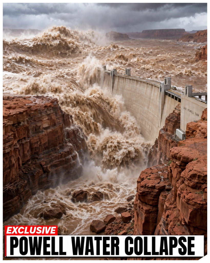
A wet year is supposed to fix a drained lake.
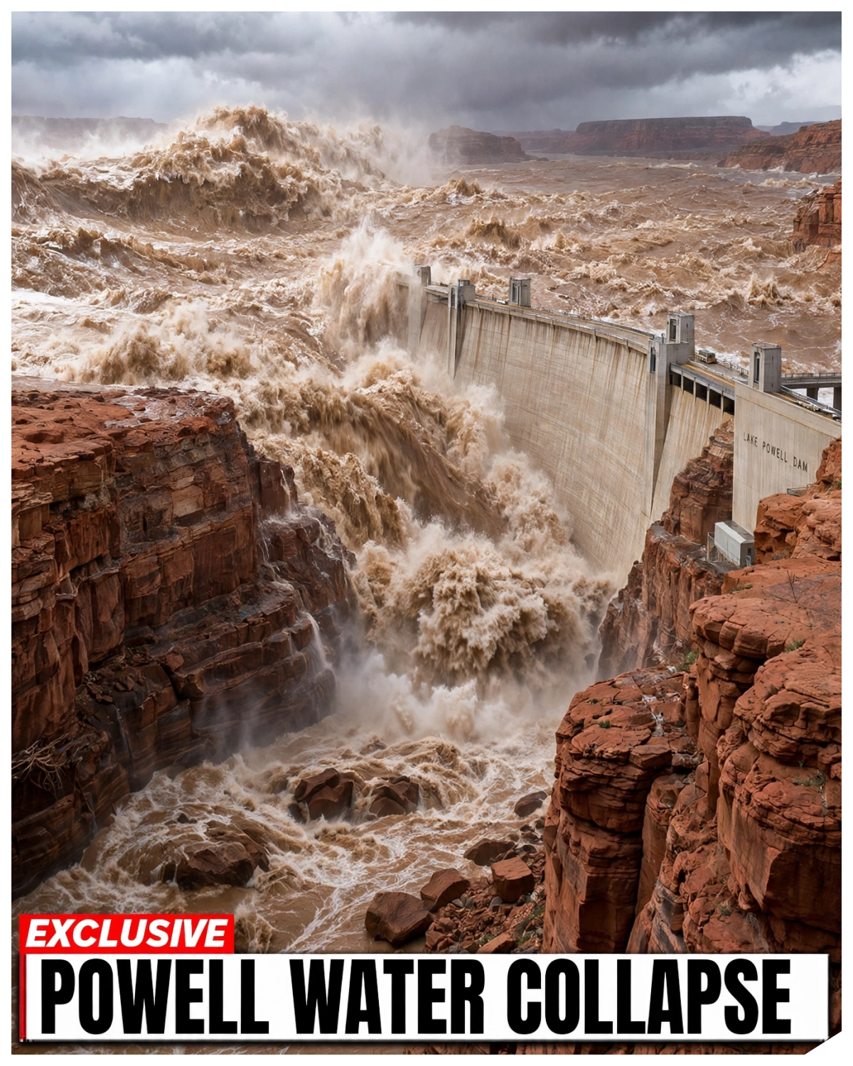
At Lake Powell, it did not.
The flooding sent a surge of snow melt down the Colorado and the San Juan, and the surface climbed dozens of feet in a few months.
Boat ramps that had sat dry for two summers came back into use.
Trucks backed trailers down concrete that had been baking in the sun.
Then, the Bureau of Reclamation posted its daily elevation.
3,700 ft is full.
The reading on the gauge is far below it.
The gap is larger than the water alone explains.
The lake itself is smaller than it was when the dam was finished in 1963.
That matters well beyond the marinas.
Glen Canyon Dam sends water to seven states and roughly 40 million people.
And its turbines lay homes across the West.
The level of this one lake decides who gets cut first and when.
On the launch ramps at Lake Powell, Boers are celebrating the rise.
The change that lasts is one they cannot see from the water.
At the far end of one ramp, the concrete still runs out onto bare red rock.
The water starts in the high country in the spring of 2023.
Snowpack across the upper Colorado basin sits well above its normal peak after a winter of storm after storm in Colorado, Utah, and Wyoming.
In April, the snow begins to let go.
Creeks become rivers.
Rivers come up brown and fast.
At the start of that runoff, Lake Powell is at the lowest point in its history.
In February 2023, the surface drops to about 3,520 ft.
That is 180 ft below full pool.
The lake holds less than a quarter of what it was built to hold.
Then the inflow arrives upstream at Cataract Canyon.
The Colorado runs high through the rapids and into the top of the reservoir.
Down at the dam outside Paige, Arizona, the daily number begins to climb.
A foot a day at the peak.
Some days more.
The headlines follow the gauge.
Lake Powell up 50 ft.
Lake Powell up 60 ft.
Video from the marinas shows water spreading back into side canyons that had been mud flats a year before.
But the forecast ran ahead of the lake.
Reclamation projected a total spring inflow well above average, millions of acre feet more than a normal year.
An acref foot is a football field covered 1 ft deep.
Pour that much water into a reservoir and it should rise more than this one did.
The rise is real, but it is smaller than the inflow.
Put the two numbers side by side and they do not line up.
Water came into the top of Lake Powell that never showed up as feet on the gauge.
By midsummer, the peak has passed.
The rivers drop.
The lake levels off far below the white bathtub ring on the canyon walls.
A line drawn by water that is no longer there.
So, the question is simple.
Millions of acre feet came down the river.
The gauge shows only part of them.
Where is the water going?
Inside Glen Canyon Dam, the job is numbers.
Operators track the lake elevation, the inflow, the release through the turbines and the storage every day.
The figures are posted publicly down to the hundth of a foot.
Each one feeds a document reclamation updates every month called the 24month study.
The study does one thing that matters more than any other.
It projects where Lake Powell will be and that projection sets how much water the dam sends downstream.
The operators do not choose that amount freely.
The release follows rules written in agreements going back to the Colorado River Compact of 1922.
The compact split the river between the upper basin, Colorado, Utah, Wyoming, and New Mexico, and the lower basin, Arizona, California, and Nevada.
The upper basin’s promise runs through this dam.
Water has to keep moving past Lee’s Ferry to the states below.
In a normal year, that means about 7.48 million acre feet leaves Lake Powell.
So when the lake gains a foot, that foot is already spoken for.
Some of it is headed for Lake me.
Some of it is headed for farms in the Imperial Valley, taps in Phoenix and Las Vegas, and a pipeline network that reaches Los Angeles.
The dam also makes power.
Its eight generators feed the grid across several states, and the Federal Power Agency sells that electricity to cities, tribes, and rural cooperatives.
The turbines need water above a certain height to run.
Reclamation puts that line at 3,490 ft, minimum power pool.
In 2022, as the lake fell toward that line, Reclamation held water back in Powell and pulled extra from reservoirs upstream to prop it up.
The agency said the steps were meant to protect the dam’s ability to generate power and deliver water.
Read that again.
Protecting the dam’s basic function was the goal of an emergency plan at a lake built to sit 200 ft higher.
So every gain on the gauge sets off the same arithmetic.
Who gets the water?
Who gets the power?
And who goes without if the next winter is dry?
The answer sits in rules built around a reservoir with a fixed size.
They assumed a capacity measured once decades ago and never shrinking.
The release rules were written for a lake that no longer exists.
At Wawwep Marina near the dam, crews spend the spring chasing the water uphill and then back down.
Docks that sat on cables over dry ground get pulled out and re-anchored.
Each move takes a crew of several workers most of a day, and the cables have to be checked twice before anyone steps back onto the planks.
The stateline ramp extended during the drought ends in water again.
Farther up the lake at Bullfrog, the work goes the other way.
The ramp there had been lengthened with new concrete during the low years, and the National Park Service posted ramp status by the week.
One ramp opens, another stays closed.
Houseboats wait on trailers for a launch that depends on a few feet of water.
A rental company that booked houseboats months ago cannot say on any given Monday which launch date it will honor.
The reopened coes are not the coes people remember.
As the water returned, Boers reported mudbanks, old debris, and drowned brush inside canyons that had been dry for years.
Some channels that once ran deep now hold a few feet of water over soft silt.
A boat that clears a channel in June can find the same channel too shallow to enter in August.
Zoom out from one ramp to the whole reservoir.
Lake Powell runs about 186 mi from the dam to the upper end with roughly 2,000 mi of shoreline when full.
Every one of those miles changed during the drought, and the flood did not put them back the way they were.
A map printed before 2002 no longer matches the water, and the park’s own navigation notices have been revised again and again.
The clearest change is at the top of the lake.
When the water dropped, the Colorado began cutting through the sediment it had dumped there for decades.
In Cataract Canyon, rapids that had been buried under the reservoir since the 1960s came back.
Near Gib Canyon, the river now drops over a ledge of rock and silt in a waterfall that did not exist on any map.
It is a hard, pale lip of stone, and the water falls over it with a sound that boers did not hear on earlier trips.
The flood raised the lake, but it did not erase those features.
The upper end now behaves more like a river than a reservoir.
The shoreline sits on new mud, new channels, and old debris that the water uncovered and then covered again.
Where the lake pulls back each autumn the banks crack in plates and the first storm turns them into slick gray paste.
That is the first part of what changed.
Lake Powell has a different shape than it had before the drought and the high water of 2023 did not restore the old one.
The shape is only the surface under it.
The river is doing something slower and the gauge cannot see it directly.
Something in the water is staying behind.
The Colorado is a brown river for a reason.
It carries sand, silt, and clay from across the Colorado Plateau.
And when it hits the still water of Lake Powell, it slows down and drops that load.
Every spring flood carries more of it.
Reclamation and the US Geological Survey measured the result in a survey of the lake bed released in 2022.
They found that Lake Powell had lost close to 7% of its storage capacity since 1963.
That space is now filled with sediment, much of it piled at the upper end and along the old river channel.
The survey projected that the loss keeps going.
Every year, sediment takes more room, and a flood year moves more sediment than a dry one because high water carries a heavier load.
So the lake does not only gain water in a wet year, it also gains mud.
Then there are the losses the gauge does record.
Slowly, Lake Powell sits in desert under hot sun and dry wind.
Reclamation estimates evaporation from the reservoir at hundreds of thousands of acre feet a year.
Some water also soaks into the sandstone around the lake called bank storage.
And not all of it comes back.
Picture a bathtub.
Pour in 10 buckets of water.
One bucket’s worth of space in the tub is already full of sand.
Another bucket evaporates while the tap is running.
Part of a third soaks into the walls and the drain stays open the whole time.
Because the release to the states downstream does not stop.
That is Lake Powell in a flood year.
The inflow goes in at the top.
The release goes out at the dam at the rate the agreements set.
In between, evaporation, seepage, and sediment each take a share.
Count all of it together, and the gap from the first gauge readings starts to close.
The water that came down from the mountains did reach the lake.
Some of it left through the turbines on schedule.
Some of it went into the air and the rock, and the space it was meant to fill is smaller than the original design.
The capacity lost to sediment does not come back in a wet year.
It is gone.
Add it up and the lake is still far from full.
Here are the two dates.
February 2023, elevation about 3,520 ft, roughly 22% of capacity.
July 2023, elevation about 3,588 ft, roughly 40% of capacity.
That is a rise of close to 70 ft in about 5 months.
It is one of the largest seasonal gains the lake has recorded.
Marinas reopened.
Ramps went back underwater.
On the gauge, the drought looked like it was ending.
Now, the other side of the number, full pool is 3,700 ft.
At its peak in 2023, Lake Powell still sat more than 100 ft below that line.
6 in 10 acre feet of space were still empty.
The comparison that matters is not with the bottom.
It is with the years before the drought.
Around 2000, Lake Powell was close to full.
One of the wetest springs in decades did not bring it halfway back to that point.
The percent figure also hides the sediment.
Reclamation’s capacity numbers now use the smaller lake measured in the 2022 survey.
So 40% of today’s Lake Powell is less water than 40% of the lake that existed in 1963.
Then the next winter came in close to normal and the lake went back to its old pattern.
The gain from 2023 began to drain away through the releases and the sun.
So this is what the flood actually did.
It pulled Lake Powell back from the edge of minimum power pool where the turbines stop.
It gave the dam operators room for 2 or 3 years of releases they did not have in February.
It reopened ramps and moved docks.
It did not refill the lake.
It did not undo the sediment.
It did not change the math that has more water leaving the river system than coming into it in most years.
The flood bought time.
That is the stat that changes the picture.
A record scale inflow measured in millions of acre feet moved the lake from about a fifth full to well under half full then started slipping.
The time has a value.
Seven states, dozens of tribes and the federal government are writing new rules for the river and that buffer of water is what they are negotiating over.
Time was bought, but who decides how it is spent?
The case for calm is real, and it comes from the people who run the river.
After the 2023 runoff, federal officials pointed to the gain at Lake Powell as proof that the system still works.
Reclamation pulled back the most severe release cuts it had been studying for the dam.
The lower basin states had already pledged to conserve about 3 million acre feet through 2026 with federal money paying farms and cities to use less.
Those payments were meant to keep the arrangement quiet for a few seasons, long enough for the negotiators to finish their work.
Officials described the wet year and the conservation deal as breathing room for the river.
Their argument goes like this.
The reservoirs are built to carry water through dry years and catch it in wet ones.
In 2023, Lake Powell caught it.
Cut too hard now and farms followow fields and cities ration water the system may not need to give up.
Those losses would land first on specific people.
A grower who has already sold off equipment.
A town that has already tightened its watering schedule.
That argument deserves its full weight.
A single spring added close to 70 ft.
Another spring like it would add more.
Lake Powell has been low before and come back.
The record shows how those comebacks went.
In 2011, a big snowpack sent a heavy inflow into Lake Powell and the lake climbed by roughly 50 ft.
The next two winters were dry.
By 2013, most of that gain was gone.
In 2019, another wet spring lifted the lake.
By 2021 and 2022, it was falling to record lows.
The 2023 rise was bigger than either of those.
The dry years behind it were longer.
The flow behind those swings is the real number.
Since 2000, the Colorado River has run well below the 20th century average in what scientists describe as the driest stretch in the basin in more than 1,000 years.
Warmer air means more of the snow evaporates or soaks into dry soil before it reaches the river.
Research from the US Geological Survey linked part of the river’s decline to rising temperatures.
So, one wet year proves the lake can rise.
It does not prove the river can sustain it.
That gap is why the cuts debate never stopped.
Upper Bassin states argue they already live with whatever the snow gives them and should not be asked for mandatory cuts.
Lower Bassin states argue they have carried most of the reductions since 2022.
Arizona has taken the deepest.
Both sides point to Lake Powell’s gauge as evidence for their position.
The rules that govern all of this have an end date.
The 2007 interim guidelines, which set how Lake Powell and Lake me share shortage, expire at the end of 2026.
The negotiations over what replaces them, started before the flood and continued after it.
Draft options have been published and argued over, and the states missed early targets for a deal.
The rules expire before the lake can recover.
Start with the faucet in your kitchen.
Do you know whether that water passed through Glen Canyon Dam?
For tens of millions of people, it did.
If you live in Phoenix, Tucson, Las Vegas, San Diego, or Los Angeles, part of what comes out of your tap was once snow in the Rocky Mountains, and it sat in Lake Powell before it reached Lake Me.
When the water runs short, the order of cuts is already written.
Under the shortage rules for Lake me, Arizona goes first because its central Arizona project holds junior rights compared with California.
Nevada takes a smaller cut.
Mexico shares in the reduction under its treaty agreements.
California with the oldest rights comes last.
In 2022, Arizona lost about 21% of its Colorado River supply in the first year of tier 1 shortage.
Farmers in Pineel County lost much of their river water, and some fields went back to dust.
The upper basin faces a different pressure.
Under the compact, it has to deliver 75 million acre feet past Lee’s ferry every 10 years.
If Lake Powell falls far enough, that promise and the water upstream start to collide.
Then there is the power.
Glen Canyon Dam generates electricity for about 5 million customers across the West.
Much of it sold at low rates to tribes, small towns, and rural utilities.
The intakes for the turbines sit at a fixed height in the concrete.
Below 3,490 ft minimum power pool, water can no longer reach them safely.
Below that line, the dam still releases water through lower outlet tubes.
But those outlets were never designed to carry the full load for long and they produce no electricity.
Farther down at about 3,370 ft sits Deadpool, where water can no longer leave the dam by gravity at all.
So, a low lake cuts power before it cuts water.
Utilities that lose hydro power buy replacement electricity on the open market, often at higher prices, and those costs show up on monthly bills.
The 2023 flood moved the lake back from that edge.
It did not move the edge.
Every one of these cuts depends on a single document.
Each August, Reclamation’s 24-month study sets the operating tier for Lake Powell and Lake me for the year that follows.
That number decides how much water leaves the dam and how much Arizona gets.
One forecast date sets the next year’s releases.
The flood changed the timeline.
It did not change the trend.
Here are the numbers.
About 3,520 ft in February 2023.
About 3,588 ft by July.
Close to 70 ft gained.
Roughly 22% of capacity, then roughly 40.
More than 100 ft still below full pool.
Close to 7% of the lakes’s original space lost to sediment.
3,490 ft.
The line where the turbines stop.
2026, the year the rules expire.
That is what changed Lake Powell forever.
The lake is smaller.
Its upper end runs like a river again, and the water it gained in one spring is already being drawn down by releases, sun, and dry winters.
The ramp from the opening still runs out across red rock at its far end.
In a wet spring, the water comes up the concrete.
In a dry summer, it backs away again.
The next August 24-month study will set the tier.
The states are still negotiating what comes after 2026.
What happens if next winter is dry?
Who absorbs the cuts if no deal is signed?
How many more floods would it take to fill a lake that keeps shrinking?
Because the river is still running short.
The sediment is still settling.
And at Glen Canyon Dam, the gauge is still moving.